2025 GEOINT Symposium
Daily Demos in Booth #2031
Recorded demos and literature available on the virtual booth
Riverside Research Virtual Booth
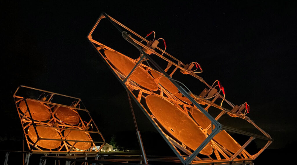
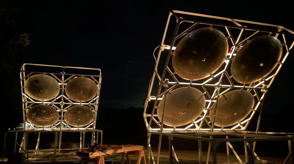
The availability of ground truth sources for in-situ measurements of geolocation accuracy and radiometric sensitivity are scarce. To combat this, Riverside Research has developed a prototype ground truth source, called TerraSTAR, that aims to provide a constant, reliable source of broadband energy that can be used for in-situ comparisons by a wide range of Civil, DoD, and commercial remote sensors. TerraSTAR pairs extremely hot broadband emitters with precisely shaped parabolic reflectors to project a beam of broadband energy into any part of the sky. Remote sensors within this cone that are looking in the direction of TerraSTAR can detect this radiation to obtain geolocation knowledge. Furthermore, these remote sensors can be presented with an estimate of radiometric intensity produced by TerraSTAR in their band(s) of interest for comparison purposes.
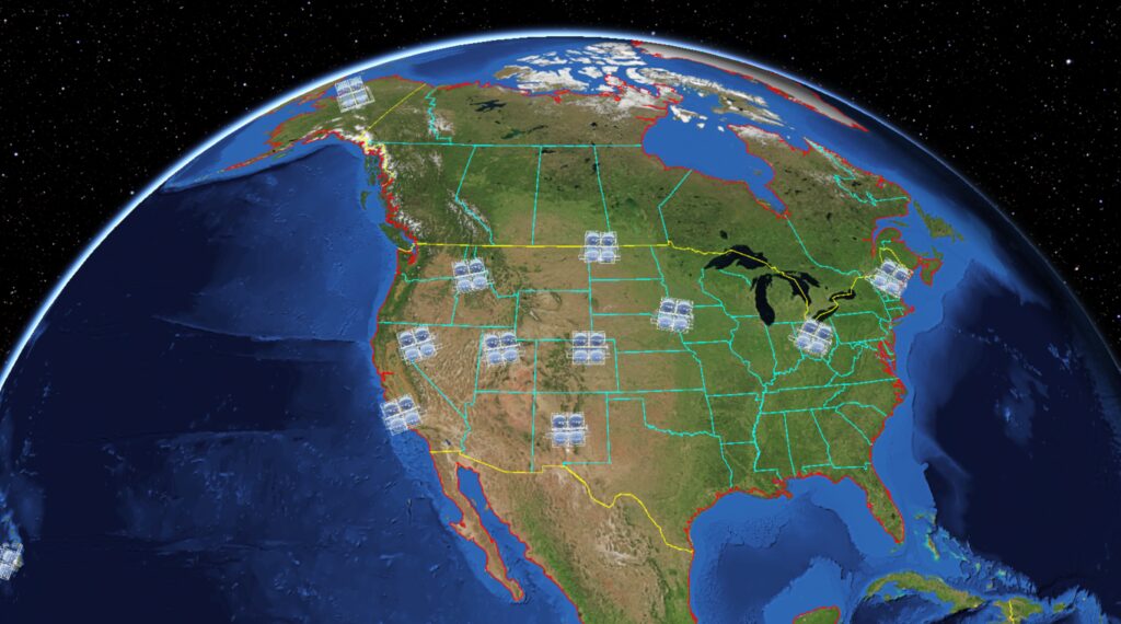
TerraSTAR features a simple, yet powerful, broadband energy projection capability, continuous day/night operation and steerable/pointable broadband projection with 360° azimuthal and 90° of elevation coverage. Four synced and aligned arrays of broadband heating elements consume 18kW while producing temperatures approaching 1500K. The deployment of a network of TerraSTAR sites across North America is anticipated by 2027 and will greatly enhance the availability of TerraSTAR for Civil, DoD and commercial remote sensor use.
Scoped for detection by the Advanced Baseline Imager (ABI) aboard GOES East and West, TerraSTAR expects strong detection in the 3.9 μm band, as well as detection in the 1.6 μm and 2.2 μm bands.
Watch our USGIF 2024 Virtual Lightning Talk about TerraSTAR, above, for a 3-minute overview.
CONUS-wide Deployment

The TerraSTAR prototype received subsequent customer investment and is now programmed for CONUS-wide deployment beginning in 2025–2026. Notional locations are shown on the figure, above.
The video above depicts a hypothetical portrayal of how TerraSTAR could be operated to direct its broadband energy toward different satellites consecutively. In this simulation, TerraSTAR sites in Ohio, Virginia, and Florida can be seen directing their energy toward GOES-West in geostationary orbit before slewing over to point at JPSS-1 as it passes overhead. Once out of view, the TerraSTAR systems redirect toward GOES-East before again slewing over to another polar orbiter, this time JPSS-2. Pointing strategies are developed through the use of Riverside Research’s Collection Planning Suite (CPS) and will be uploaded to the TerraSTAR control system remotely on a routine basis.
The video below shows a depiction of four TerraSTAR arrays that comprise a site-deployed TerraSTAR system operating in unison to project their broadband energy toward a common point in the sky. TerraSTAR arrays have independent controls for elevation and azimuth movement, and work in conjunction to follow the known orbit of a satellite. Once the satellite is no longer in view, TerraSTAR repoints to the next satellite within view (in this case a satellite in geostationary orbit). This pattern repeats to provide many opportunities for calibration to multiple sensors throughout the day.
Request a meeting
Request a meeting by filling out this contact form.


